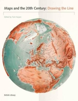
Stock image for illustration purposes only - book cover, edition or condition may vary.
Maps and the 20th Century: Drawing the Line
Tom Harper
€ 63.59
FREE Delivery in Ireland
Description for Maps and the 20th Century: Drawing the Line
Hardcover. This book will tell a global story of the most turbulent century in history through its most powerful and important object: the map. Editor(s): Harper, Tom. Num Pages: 272 pages. BIC Classification: 3JJ; HBLW; HBTP. Category: (G) General (US: Trade). Dimension: 290 x 232 x 29. Weight in Grams: 1574.
The 20th century was a period of profound political, social and technological change. Population growth and movement, revolutions in transportation and communication, and the onset of the digital age meant that life would never be the same. It is impossible to overstate the significance of maps, which crept into everyday life during this period. They were both unsung heroes and unreliable witnesses capable of informing but also misleading. They are always subjective, and always worthy of interrogation. Highlights of this global study include a trench-map of the Somme battlefields, a bomb damage map of London, early maps of the ocean ... Read more
The 20th century was a period of profound political, social and technological change. Population growth and movement, revolutions in transportation and communication, and the onset of the digital age meant that life would never be the same. It is impossible to overstate the significance of maps, which crept into everyday life during this period. They were both unsung heroes and unreliable witnesses capable of informing but also misleading. They are always subjective, and always worthy of interrogation. Highlights of this global study include a trench-map of the Somme battlefields, a bomb damage map of London, early maps of the ocean ... Read more
Product Details
Publisher
British Library Publishing
Format
Hardback
Publication date
2017
Condition
New
Weight
1573g
Number of Pages
272
Place of Publication
London, United Kingdom
ISBN
9780712356626
SKU
V9780712356626
Shipping Time
Usually ships in 5 to 9 working days
Ref
99-1
About Tom Harper
Tom Harper is lead curator of antiquarian maps at the British Library and the coauthor of "A History of the Twentieth Century in 100 Maps."
Reviews for Maps and the 20th Century: Drawing the Line
