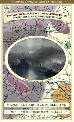
Stock image for illustration purposes only - book cover, edition or condition may vary.
The Mining & Manufacturing Districts 1836 Staffordshire and Worcestershire (Birmingham Historic Maps Collection)
Mapseeker
€ 25.85
FREE Delivery in Ireland
Description for The Mining & Manufacturing Districts 1836 Staffordshire and Worcestershire (Birmingham Historic Maps Collection)
Sheet map, folded. Detailed map of the Manufacturing District (Black Country) that shows the coal field and other mineral mining areas. Details Canal network. The map folds out to a large 1000m x 890mm size that is sharp and legible, a great resource for local history study. Series: Birmingham Historic Maps Collection. Num Pages: 1 pages. BIC Classification: 1DBKEMS; HBTP1; WQH. Category: (G) General (US: Trade). Dimension: 124 x 225 x 8. Weight in Grams: 102.
Product Details
Publication date
2013
Publisher
Mapseeker Archive Publishing
Number of pages
1
Condition
New
Series
Birmingham Historic Maps Collection
Number of Pages
1
Format
Sheet map, folded
Place of Publication
Truro, United Kingdom
ISBN
9781844918188
SKU
V9781844918188
Shipping Time
Usually ships in 4 to 8 working days
Ref
99-3
Reviews for The Mining & Manufacturing Districts 1836 Staffordshire and Worcestershire (Birmingham Historic Maps Collection)
