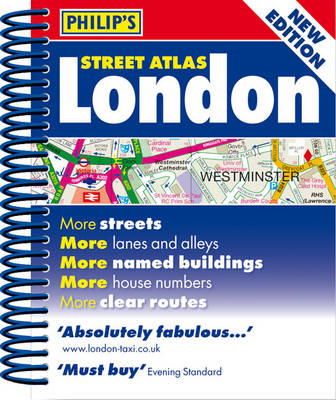

Stock image for illustration purposes only - book cover, edition or condition may vary.
Philip´s Street Atlas London: Mini Spiral Edition
Philip´s Maps
€ 4.99
FREE Delivery in Ireland
Description for Philip´s Street Atlas London: Mini Spiral Edition
Spiral bound. A new edition of this handy mini spiral format that fits easily into a pocket, briefcase or handbag. This detailed colour mini street atlas covers all of London from Richmond to Greenwich and from Highgate to Streatham, with enlarged maps of central London from Earl's Court to Tower Bridge. Series: Philip's Street Atlases. Num Pages: 320 pages, colour maps. BIC Classification: 1DBKESL; WTRS. Category: (G) General (US: Trade). Dimension: 146 x 120 x 20. Weight in Grams: 224.
A fully revised edition of this mini street atlas of inner London, which gives comprehensive and detailed coverage. The street maps of central London are at 7 inches to 1 mile, with the rest of inner London at the clear scale of 3.5 inches to 1 mile. The maps mark every named street, lane, alley, court and walkway, plus car parks, tube, rail and bus stations, post offices, schools, colleges, hospitals, police and fire stations, places of worship, leisure centres, footpaths and bridleways, golf courses, and many other places of interest. The central London Olympic venues are clearly shown.A theatres ... Read more
A fully revised edition of this mini street atlas of inner London, which gives comprehensive and detailed coverage. The street maps of central London are at 7 inches to 1 mile, with the rest of inner London at the clear scale of 3.5 inches to 1 mile. The maps mark every named street, lane, alley, court and walkway, plus car parks, tube, rail and bus stations, post offices, schools, colleges, hospitals, police and fire stations, places of worship, leisure centres, footpaths and bridleways, golf courses, and many other places of interest. The central London Olympic venues are clearly shown.A theatres ... Read more
Product Details
Format
Spiralbound
Publication date
2012
Publisher
Octopus Publishing Group
Condition
New
Series
Philip's Street Atlases
Number of Pages
320
Place of Publication
London, United Kingdom
ISBN
9781849072083
SKU
KSG0018450
Shipping Time
Usually ships in 2 to 4 working days
Ref
99-3
Reviews for Philip´s Street Atlas London: Mini Spiral Edition
