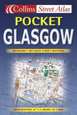

Glasgow Pocket Atlas
Roger Hargreaves
Scale; 3.17 inches to 1 mile. This brand new pocket atlas features clear, user-friendly mapping without compromising on detail. It is ideal for the visitor who wants a compact atlas.
MAIN FEATURES
This neat little atlas is ideal for those out and about in Glasgow city centre. It has a high level of detail but is incredibly clear. The maps are in full colour with land use colour coded to aid use. Important places such as schools, hospitals, stations, shopping centres are all plotted and named. The busy city centre ... Read more
INCLUDES
• Full index to street names
• City centre at extra large scale
• One way streets shown
• Car parks, railway and bus stations shown
• Post offices, police stations and fire stations plotted
AREA OF COVERAGE
Covers an area from Paisley in the west to Uddingston in the east and Bishopbriggs in the north to Castlemilk in the south.
Product Details
Reviews for Glasgow Pocket Atlas
