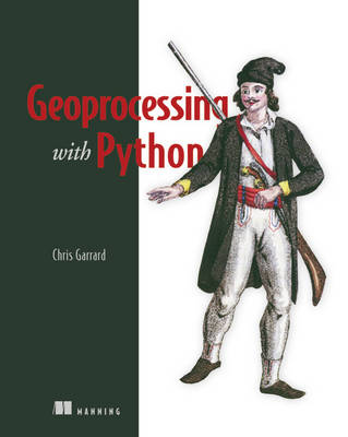
Stock image for illustration purposes only - book cover, edition or condition may vary.
Geoprocessing with Python
Chris Garrad
€ 57.85
FREE Delivery in Ireland
Description for Geoprocessing with Python
Paperback. Num Pages: 400 pages. BIC Classification: UMT. Category: (P) Professional & Vocational. .
DESCRIPTION Geospatial data is hard to ignore. Nearly every car, phone, or camera has a GPS sensor, and aerial photos, satellite imagery, and data representing political boundaries, roads, rivers, and streams are available for free download from many websites. Geoprocessing is the science of reading, analyzing, and presenting geospatial data programmatically. The Python language, along with dozens of open source...
Read moreProduct Details
Publisher
Manning Publications
Format
Paperback
Publication date
2016
Condition
New
Number of Pages
360
Place of Publication
New York, United States
ISBN
9781617292149
SKU
V9781617292149
Shipping Time
Usually ships in 15 to 20 working days
Ref
99-15
About Chris Garrad
Chris Garrard has worked as a developer for the Remote Sensing / GIS Laboratory at Utah State University for over a decade. She teaches a graduate level course on Python programming for GIS and enjoys helping students see the power that comes with writing their own code.
Reviews for Geoprocessing with Python
